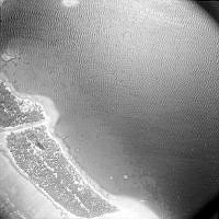
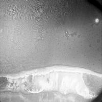
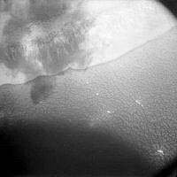
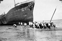
Image from the New Zealand Pacific Aviation Survey album.
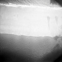
Party members "manhandling [the] surf boat over [the] reef" beside the ship wreck of the Norwich City, on the reef surrounding Gardner Island (now Nikumaroro Island) in Kiribati.
This is a copied album from the New Zealand Pacific Aviation Survey party on board the MV Yanawai, accompanied by the HMS Leander, to survey British-owned islands for suitability for airfields and lagoons for flying boats, in the Pacific region.
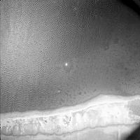
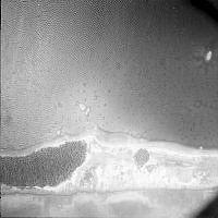
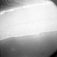
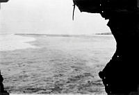
Image from the New Zealand Pacific Aviation Survey album.
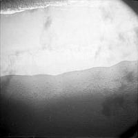
View through a hole in the side of of the ship wreck of the Norwich City, on the reef surrounding Gardner Island (now Nikumaroro Island) in Kiribati.
This is a copied album from the New Zealand Pacific Aviation Survey party on board the MV Yanawai, accompanied by the HMS Leander, to survey British-owned islands for suitability for airfields and lagoons for flying boats, in the Pacific region.
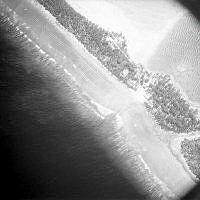
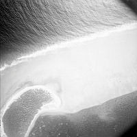
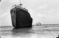
Image from the New Zealand Pacific Aviation Survey album.
"Wreck of S.S. Norwich City with M.V. Yanawai in background." Gardner Island (now Nikumaroro Island) in Kiribati.
This is a copied album from the New Zealand Pacific Aviation Survey party on board the MV Yanawai, accompanied by the HMS Leander, to survey British-owned islands for suitability for airfields and lagoons for flying boats, in the Pacific region.
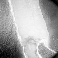
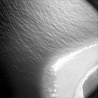
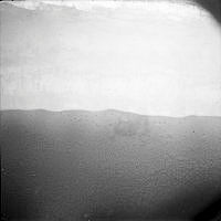
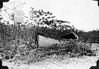
Image from the New Zealand Pacific Aviation Survey album.
One of the life boats from the wrecked ship SS Norwich City on Gardner Island (now Nikumaroro Island) in Kiribati.
This is a copied album from the New Zealand Pacific Aviation Survey party on board the MV Yanawai, accompanied by the HMS Leander, to survey British-owned islands for suitability for airfields and lagoons for flying boats, in the Pacific region.
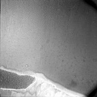
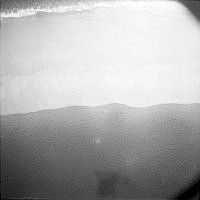
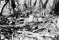
Image from the New Zealand Pacific Aviation Survey album.
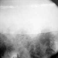
"Remains of Wreck [SS Norwich City] survivors camp" on Gardner Island (now Nikumaroro Island) in Kiribati.
This is a copied album from the New Zealand Pacific Aviation Survey party on board the MV Yanawai, accompanied by the HMS Leander, to survey British-owned islands for suitability for airfields and lagoons for flying boats, in the Pacific region.