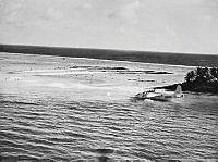
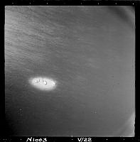
Holes in the hull of No. 5 Squadron Sunderland NZ4111 KN-D after being damaged in Nukunono Lagoon, Tokelau.
NB. The accident happened on 24 August 1955, but unusually these copy negatives are filed in 1952!
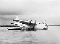
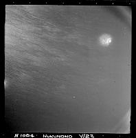
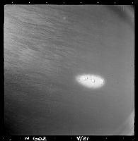
No. 5 Squadron Sunderland NZ4111 KN-D after being holed in Nukunono Lagoon, Tokelau.
NB. The accident happened on 24 August 1955, but unusually these copy negatives are filed in 1952!
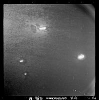
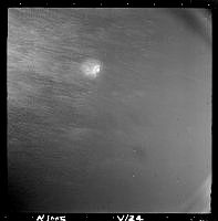
No. 5 Squadron Sunderland NZ4111 KN-D after being holed in Nukunono Lagoon, Tokelau.
NB. The accident happened on 24 August 1955, but unusually these copy negatives are filed in 1952!
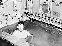
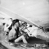
Sergeant R Wickett in the flooded bomb room of No. 5 Squadron Sunderland NZ4111 KN-D after it was holed in Nukunono Lagoon, Tokelau.
NB. The accident happened on 24 August 1955, but unusually these copy negatives are filed in 1952!
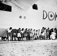
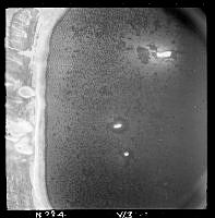
Local people helping to lift No. 5 Squadron Sunderland NZ4111 KN-D after being holed in Nukunono Lagoon, Tokelau.
NB. The accident happened on 24 August 1955, but unusually these copy negatives are filed in 1952!
Leading Aircraftman AH Webster repairing No. 5 Squadron Sunderland NZ4111 KN-D after being holed in Nukunono Lagoon, Tokelau.
NB. The accident happened on 24 August 1955, but unusually these copy negatives are filed in 1952!
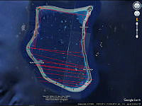
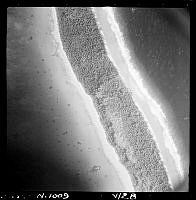
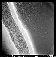
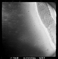
Google Earth screen showing the approximate centre lines of the survey runs in LbAFtins1-6, flown 13/05/1959, covering most of Nukunono Atoll in Tokelau.